Layers produced by openhi may utilized using various GIS software tools i.e. QGIS (Quantum Geographic Information System).
The following sequence depicts the sequence:
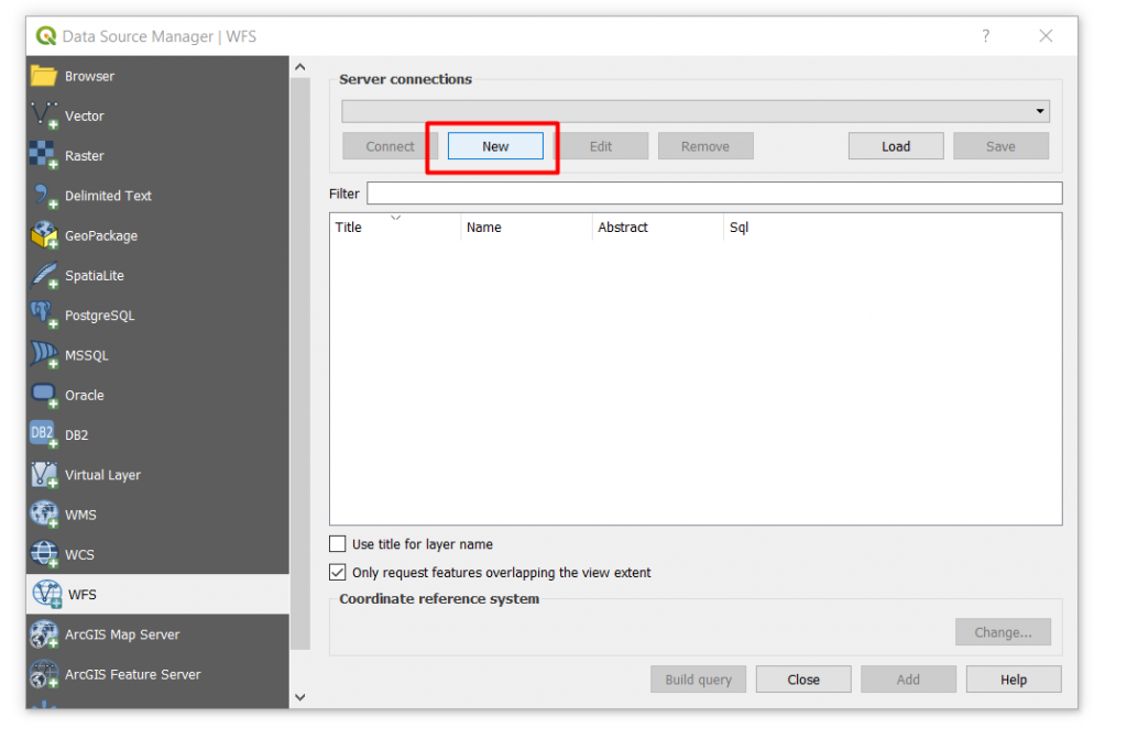
Step 1: Layer › Add Layer › Add WFS layer:
Step 2: Select New:
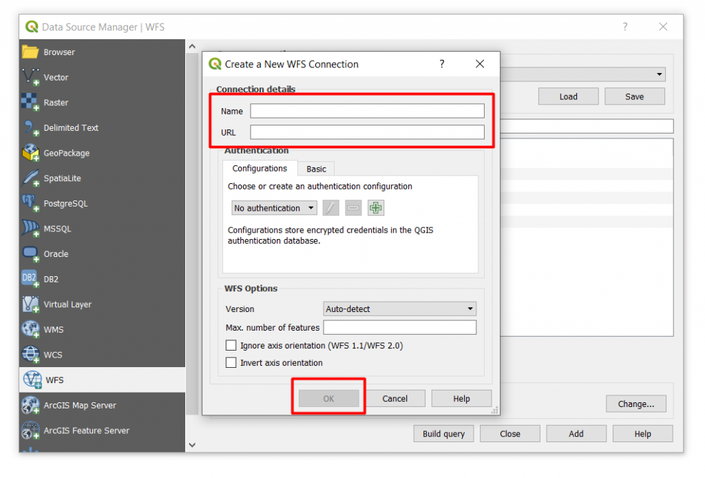
Step 3: Add a Name in the respective Name field, followed by entering the WFS address field in the URL and ok:
Note:
In field Name enter a free text i.e. openhi In field URL use the WFS url of openhi, namely the:
and: connect:
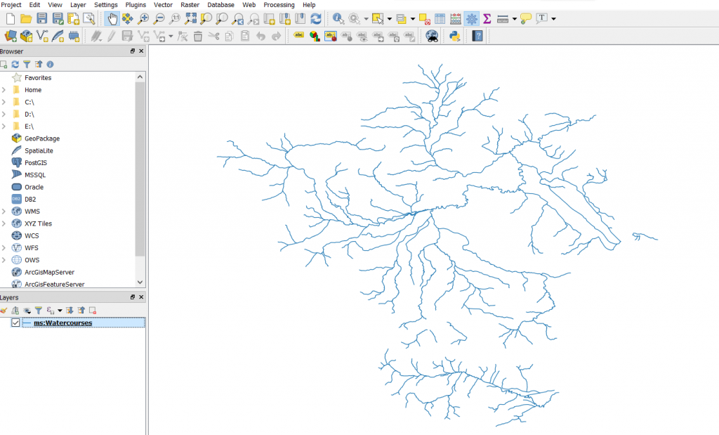
Step 4: Add a name on every layer by clicking on its respective name › add:
Finally: the following image appears:
Optionally you may retrieve the layer inherent data: Right click data layer and select › save as:
Selecting the format type